
7 Flood-Insurance Mistakes Tar River Buyers Shouldn't Make

In this post
- Mistake 1: Waiting until a storm has a name
- Mistake 2: Treating the lender’s flood determination as the last word
- Mistake 3: Reading $250,000 as a $250,000 check
- Mistake 4: Storing a life in the basement or the crawlspace
- Mistake 5: Never asking for the elevation certificate or the panel number
- Mistake 6: Leaving a discount your city already earned
- Mistake 7: Assuming the river has to top the bank to reach your street
A dry October is the easiest month in Nash County to get flood insurance wrong.
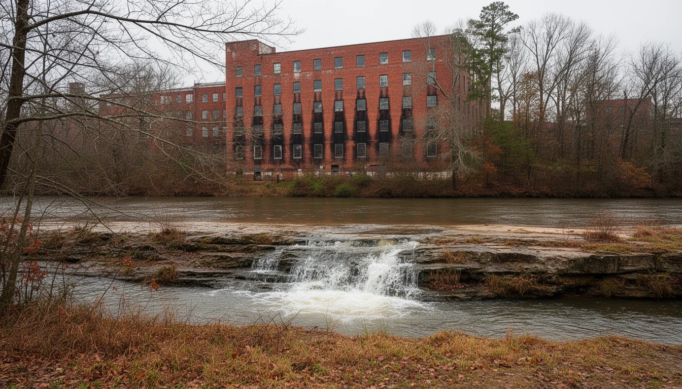
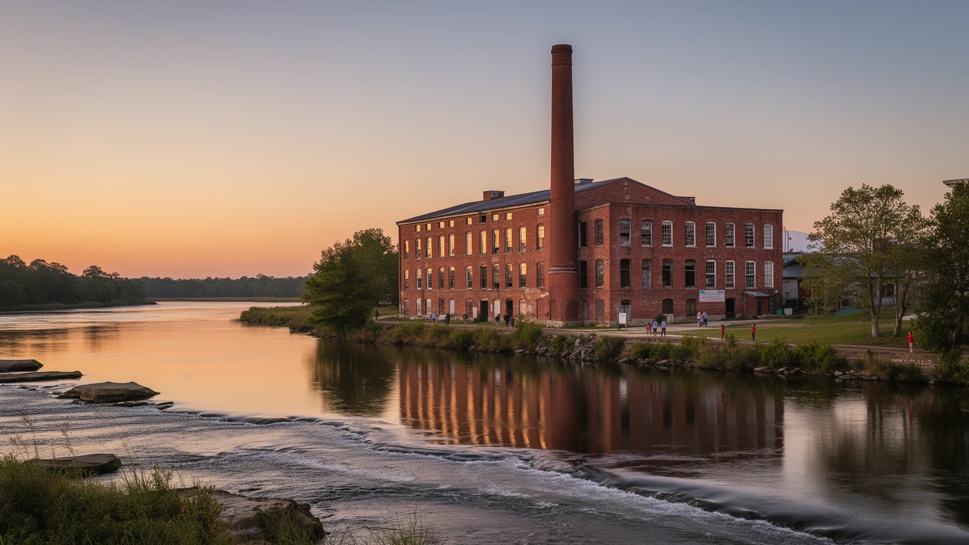
The Tar River runs low through Rocky Mount this time of year. You can see the rock ledge below the NC 97 bridge, and the old mill foundations on the far bank, and it takes some imagination to picture water standing in the lots off Sunset Avenue.
The gauge upstream keeps a different record. The Tar at Rocky Mount has run past 25 feet, which is major flood stage at that gauge, at least four times since 1996. The highest crest on the books is 31.66 feet on September 17, 1999. Matthew pushed it to 28.73 feet on October 10, 2016.
I have watched buyers make the same insurance mistakes on river property in this county. Seven of them, mostly. None are hard to fix before you write the offer.
Mistake 1: Waiting until a storm has a name
FEMA’s own instruction is blunt: plan ahead, because there is typically a 30-day waiting period before an NFIP policy goes into effect. The exceptions are narrow, and they exist for coverage a federally backed lender requires at closing and for coverage tied to a community map change.
Read that with a weather forecast in mind. The policy you buy on a Thursday ahead of a wet weekend does nothing for that weekend.
Buy the coverage when you go under contract, not when the models turn.
Private flood carriers can issue a policy faster, and sometimes for less money. Their exclusions vary far more than the federal program’s do. Read those before you read the price.
Mistake 2: Treating the lender’s flood determination as the last word
The lender runs a determination to protect the note. It answers a yes-or-no question about the collateral, and it is not a survey.
Plenty of parcels out here straddle the Special Flood Hazard Area line. The SFHA is land with a one percent or greater chance of flooding in any given year. When that line crosses a lot but misses the house, FEMA will review a request to change the designation. A Letter of Map Amendment covers a structure sitting on natural high ground. A Letter of Map Revision Based on Fill covers one that was built up on dirt. Both need elevation work from a surveyor.
Over a 30-year loan, taking a house out of the SFHA is worth real money. It is also worth doing before closing, while the seller still has a reason to cooperate.
Mistake 3: Reading $250,000 as a $250,000 check
The National Flood Insurance Program’s Dwelling Form covers building property up to $250,000 and personal property up to $100,000.
Two details inside that sentence cost people money. Contents coverage has to be purchased separately, and when a lender required flood insurance at closing, the policy often covers the structure and nothing inside it. Flood insurance is also not a valued policy: it pays the actual damage or the limit, whichever is less, the way a repair bill works. A house worth $310,000 that floods to the studs does not produce a $250,000 check. It produces the covered cost of putting it back, capped at $250,000, and you still owe the rest of the mortgage.
Most NFIP policies carry Increased Cost of Compliance coverage too, up to $30,000, for raising, demolishing, or relocating a home your community has declared substantially damaged. The building claim and the ICC payment cannot add up to more than $250,000 on a single-family house.
Mistake 4: Storing a life in the basement or the crawlspace
Policy language on below-grade space is narrow. Cover for property in a basement, or in the crawlspace under the living floor of a post-FIRM house, is limited to a specific list of items in the policy. A washer and dryer and a chest freezer usually make the list. The furniture, the boxes, and the treadmill in the finished basement generally do not.
Detached garages are covered at up to 10 percent of the building limit. The detached shop or the barn behind the house is a separate policy, or nothing.
Mistake 5: Never asking for the elevation certificate or the panel number
Two records decide what river property costs to insure. The FIRM panel gives you the zone and the base flood elevation that the house rates against. The elevation certificate records where the lowest floor of a post-FIRM house actually sits compared with that elevation.
Ask the floodplain administrator for both. Rocky Mount and Nash County keep those files, and they will tell you the panel number and whether a map revision has already been granted on the parcel.
Two houses on the same street can rate differently because one crawlspace was dug two feet deeper in 1998. Nobody volunteers that at a showing.
Mistake 6: Leaving a discount your city already earned
Rocky Mount holds a Class 6 rating in FEMA’s Community Rating System, which is worth a 20 percent discount for policyholders. The program is voluntary, and discounts run from 5 percent at Class 9 to 45 percent at Class 1.
Under FEMA’s current pricing approach, the discount is applied to the full-risk premium for policies in a participating community, including houses outside the Special Flood Hazard Area. FEMA’s page also names one exclusion: a policy can lose the discount when the structure is not in compliance with local floodplain rules. Unpermitted work below the base flood elevation is the usual reason.
Ask your agent to confirm the discount is on the quote. It is a line item, not a favor.
Mistake 7: Assuming the river has to top the bank to reach your street
Major flood stage at the Rocky Mount gauge is 25 feet. Minor flood stage is 21. The record is 31.66, which leaves a lot of room between a dry yard and the biggest crest this river has produced.
Floyd and Matthew both put water into streets that are not on the river, some of it backwater, some of it rain that never made it to the channel at all. Rocky Mount took 16.55 inches of rain in 24 hours on September 15, 1999, the highest single-day total on record there. Storm drains and low ground did the rest.
So the useful question is not how close the river is. It is which direction water crosses this particular lot, and where it stood in September 1999 and October 2016. Neighbors will tell you about the second one for free. The floodplain administrator will tell you about the first.
FEMA now rates each structure on its own characteristics, so the number on a neighbor’s declarations page is a starting point and not an answer.
Pull the panel and the elevation certificate before you fall for the house. Budget the policy into the monthly number the way you budget taxes. Then read the declarations page instead of the brochure, because that document is the one that pays.
I sell houses, not policies. The river has been quiet all fall, and that is the whole reason to get this settled now.
Keep reading
Nash County Closing Statement: Reading Every Line
A Nash County closing statement, line by line: excise tax, recording fees, prorated property taxes, and the lines worth questioning before you sign.
Nash County New Builds: Permits and What to Verify
Building in Nash County? Permits and inspections come from Rocky Mount city or the county, depending on the lot. What to verify on a new build.
Nash County Contracts: What Buyers Risk After Signing
A 2022 NC Supreme Court ruling confirmed buyers who breach a purchase contract can owe attorney's fees. What that means for Nash County buyers.