

Nash County sits where North Carolina's coastal plain starts to rise toward the piedmont, split by the Tar River and, since 1777, split from the county it was born out of. The first English land grants in the area date to 1743, more than three decades before the county existed on paper1 — the land was being claimed and farmed well before anyone in New Bern or Hillsborough drew a line around it and gave it a name.
1777 Carved From Edgecombe, Named for a Fallen General
Nash County was established by the North Carolina General Assembly in 1777, carved from the western portion of Edgecombe County. It was named for General Francis Nash, a Hillsborough lawyer and Revolutionary War officer who commanded North Carolina's regiments at the Battle of Brandywine before he was mortally wounded at the Battle of Germantown on October 4, 1777, the same year the county that bears his name was formed2. He never set foot in the county named for him — a common enough pattern for Revolutionary-era county names, but worth stating plainly rather than implying some deeper local connection that isn't there.
The Tuscarora were the area's original inhabitants before English and Irish settlers moved in during the early-to-mid 1700s. By the time Nash split off from Edgecombe, the county was already a working agricultural landscape — tobacco, corn, and cotton on the coastal-plain soil that still defines the county's rural half today.
1780–1815 Nashville, the County Seat
Nashville was settled in 1780 and formally chartered by the General Assembly in 1815, which authorized commissioners to lay out the town, plat its streets, and put up a courthouse7. It sits roughly ten miles west of Rocky Mount on what is now US-64, a location that was chosen for being reasonably central to the county rather than for any commercial advantage — the opposite logic from Rocky Mount's riverbank-and-railroad siting a decade later.
That distinction still matters for a buyer today. Nashville is the largest municipality in Nash County that sits entirely within it — no county-line questions, no split school district, no asterisk on the tax bill. County government, the sheriff's office, and the courthouse have operated from Nashville for more than two centuries, and the town's identity has always run through that role rather than through industry or a rail depot.
1816–1863 The Mound, the Mill & the War
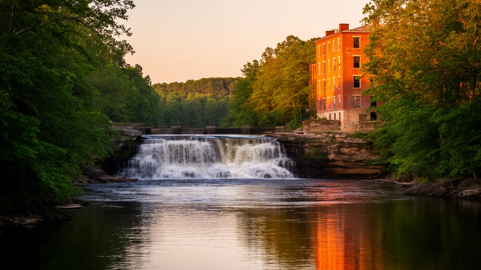
Rocky Mount exists because of a waterfall. Pioneers dammed the Tar River at a rocky outcropping that formed natural falls, and the settlement that grew up around it took its name from that geography — a "rocky mound." The first post office at the site was established March 22, 1816, and by most local accounts the name that stuck, "Rocky Mount," is the result of a postal transcription that never got corrected rather than a deliberate choice3.
The name that stuck is the result of a postal transcription that never got corrected, not a deliberate choice.
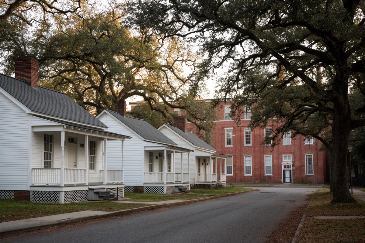
Rocky Mount Mills was founded on the riverbank in 1818 by Joel Battle and two partners — the second cotton mill built in North Carolina, after the 1814 Schenck-Warlick Mill near Lincolnton4. For its first thirty years the mill ran on enslaved labor; hired workers, mostly women and girls, took over daily operations after 1852. A mill village of small cottages grew up around it — the same streets, on the same footprint, that make up the historic Mills Village today.
The Wilmington & Raleigh Railroad — later renamed the Wilmington & Weldon — reached Rocky Mount as part of its Wilmington-to-Weldon line, completed in 1840, running by way of Goldsboro and deliberately bypassing Raleigh5. That single routing decision is why Rocky Mount, not some other crossing on the Tar, became the county's commercial center: a river for power and a railroad for freight, arriving within a generation of each other at the same few hundred yards of riverbank.
The mill did not survive the Civil War untouched. On July 20, 1863, six companies of Union cavalry under Brig. Gen. Edward E. Potter raided Rocky Mount and burned the cotton mill, the gristmill, and stores of cotton, yarn, flour, and hardtack6. William S. Battle rebuilt it afterward in brick on the original stone foundations — the same building, in its rebuilt form, that stands at the center of the Mills campus today.
1867–1871 One City, Two Counties
Rocky Mount was incorporated as a town in 1867. At incorporation, the town straddled the Tar River, with the river itself serving as the boundary between Nash and Edgecombe counties8. In 1871 that boundary moved: the county line was redrawn to follow the railroad tracks running north to south through the middle of town, rather than the river — the same line, unchanged, that still splits Rocky Mount today.
The practical result is one city with two different sets of county government wrapped around it. Same city police and fire departments, same city utilities, same city council — but a different county tax rate, a different courthouse for deeds and permits, and, since a 2024 school-district demerger, a different public school system depending on which side of the old rail line an address sits on.
1880s–1920s The Bright-Leaf Boom
Rocky Mount's tobacco market took shape in the late 1880s, as demand for bright-leaf tobacco grew and warehouses went up to auction it. The market's growth was substantial enough to justify the town's first bank, chartered in 1889, and by the turn of the twentieth century Rocky Mount's warehouse district was counted among the largest bright-leaf tobacco markets anywhere — a claim the neighboring town of Wilson, sixteen miles south, has made for its own market in the same era. Both towns' warehouse rows were real, and this page doesn't try to referee which one was larger in a given season; what's certain is that tobacco auctions, not the mill, were the dominant force in the local economy by 1900.
The population figures track the boom directly: Rocky Mount grew from 2,937 residents in the 1900 census to 8,051 by 1910 and 12,742 by 1920, roughly a fourfold increase in two decades, driven almost entirely by tobacco processing, auction-market jobs, and the capital that followed them. Tobacco reshaped the town's social calendar as much as its economy — by the 1880s, warehouses that sold leaf by day were hosting dances by night.
1886–1911 Spring Hope, Middlesex & Bailey
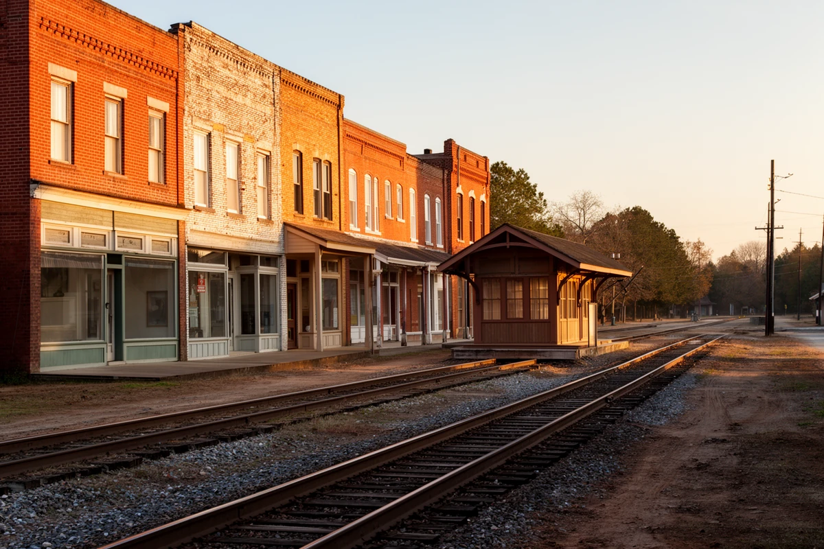
The string of towns west of Rocky Mount along today's US-64 and US-264 corridors — Spring Hope, Middlesex, Bailey — all owe their location, almost without exception, to where a railroad company decided to stop.
Spring Hope is the clearest case. A community called Old Spring Hope had existed since around 1840 around a general store near a natural spring, four miles from the town's present location. In 1886 the Wilmington & Weldon Railroad began laying track across Nash County to extend service toward Raleigh. The line ran into a landowner, James T. Webb, who priced his property so high that the railroad simply stopped the track short of his land, roughly midway between Old Spring Hope and Webb's Mill. The post office moved to the new depot, the town grew up around the tracks instead of the spring, and the result was incorporated as Spring Hope on February 24, 18899. Old Spring Hope itself never incorporated and no longer functions as a town center — the whole settlement effectively relocated to follow the railroad.
Spring Hope's whole reason for existing at its present location is a landowner who priced himself out of the railroad's path.
Middlesex has a similar origin one county line over, in southwest Nash County: a small crossroads community that boomed after the Norfolk & Southern Railroad cut through around the turn of the twentieth century. Its most colorful moment came in 1911, when local businessmen backed a General Assembly bill to carve an entirely new county — to be called Jarvis County, with Middlesex as its seat — out of pieces of Nash, Wilson, Johnston, Wake, and Franklin counties. The bill failed, and Middlesex has been a Nash County town ever since10.
Bailey's story runs on the same rails. The area was known as Eatmon's Post Office until 1907, when landowner Joseph D. Farmer laid out a town the same year the Norfolk & Southern Railroad reached it as a depot stop. The proposed name "Farmer," after its founder, lost out to "Bailey," honoring the earlier Bailey family settlement in the township, and the town was incorporated February 1, 190811.
1853–1977 Castalia & the Crossroads Towns
The county's smaller towns north and east of Nashville have a mix of origins that don't fit one pattern.
Castalia, in Nash County's northwest corner, grew out of the Belford community and the Captain Adams Harrison estate, and was incorporated by the General Assembly on March 1, 1873. Its name is older than its charter: in 1853, schoolmaster David S. Richardson named the new school there for the Castalian spring of Greek mythology, and the name carried over to the town twenty years later12. Castalia developed as a stagecoach stop before the railroad ever reached the area, which sets it apart from the depot towns to the west.
Red Oak, named for a grove of red oak trees, existed informally through the nineteenth century before it became an official municipality in 1961, chartered by the North Carolina General Assembly as a one-mile-diameter circle centered on the Red Oak crossroads13 — among the newest incorporations in the county, despite one of the older place-names. It was long home to the Red Oak Farm Life School, the second such vocational-agricultural school in North Carolina, whose original girls' dormitory building still stands.
Dortches, immediately north of Rocky Mount, has an even more recent charter: it was incorporated in 1977, making it one of the youngest towns in the county on paper, even though the Federal-style Dortch House on the same land dates to about 180314 — a reminder that a town's incorporation date and the age of the ground it sits on are two entirely different facts, and this page keeps them separate rather than letting one stand in for the other.
Sharpsburg, founded in 1844 by John J. Sharpe and incorporated in 1883, is unusual for a different reason: it sits across three counties at once — Nash, Edgecombe, and Wilson — making Rocky Mount's two-county split look simple by comparison. Whitakers, at the county's northern edge, traces to Richard and Elizabeth Whitaker's 1740 settlement on Fishing Creek; a full century later, around 1840, a Whitaker descendant ran a wood-and-water stop for the newly arrived Wilmington & Weldon Railroad that became known as "Whitaker's Turnout," and a post office followed in 186915. Like Sharpsburg, Whitakers straddles a county line, Nash and Edgecombe, split by the same railroad tracks that gave it a reason to exist.
Momeyer and Dortches's smaller unincorporated neighbor communities — crossroads settlements strung along US-64 between Spring Hope and Nashville — have a much thinner documented record than the towns above; what's clear is that they grew as farm-service crossroads rather than as railroad depots or county-seat candidates, and this page isn't going to manufacture a founding narrative where the record doesn't support one.
1996–1999 Mill Closure & the Flood
Rocky Mount Mills ran for 178 years, closing for good in June 1996 — at the time believed to be the oldest continuously operating cotton mill in the South, and the loss of 320 jobs when it shut16. The mill campus and its village sat mostly vacant for the next decade.
Three years after the mill closed, the Tar River delivered the worst flood in the region's recorded history. Hurricane Floyd struck in September 1999, and Rocky Mount recorded 16.55 inches of rain in a single 24-hour period — the highest one-day total anywhere in the storm. The Tar River crested at 32.35 feet in Rocky Mount on September 17, and downstream in Tarboro it crested 22 feet above flood stage, a record that still stands17. Schools and shelters stayed open for weeks afterward across the Twin Counties region.
Present Mills Revival & Nash County Today
In 2007, Capitol Broadcasting Company — the Raleigh media company behind the American Tobacco Campus redevelopment in Durham — closed on the vacant Rocky Mount Mills property, acquiring roughly 300,000 square feet of mill and factory buildings, about thirty mill houses, and open riverfront acreage18. Redevelopment took most of a decade to get moving in earnest; the first brewery opened at the end of 2014, and today the campus is a mixed-use district of breweries, restaurants, loft apartments carved out of the original mill building, and the restored mill-village cottages along Falls Road.
Nash County today holds roughly 95,000 residents, anchored by Rocky Mount's Nash-side neighborhoods, the county-seat market in Nashville, a working ring of new construction around Nashville and Red Oak, and the western towns riding the Raleigh commute out along US-64. The county line that moved to the railroad tracks in 1871 is still there, still splitting one city's tax bills and school assignments down the middle. The mill that burned in 1863 and closed in 1996 is standing, rebuilt, and full of people again. Little of Nash County's present shape happened by accident — a waterfall, a railroad company's routing decision, and a landowner's asking price did most of the work, and the results are still the geography a buyer is shopping today.
Primary Sources & Further Reading
The State Library of North Carolina's encyclopedia project. Source for the county's 1777 formation, early settlement, and industrial history, and for the Rocky Mount Mills entry specifically.
The county's own official history page — source for the 1743 first land grants, Nashville's 1780 settlement and 1815 charter, and the Francis Nash biography.
Official city history — source for the 1816 post office, the "Rocky Mound" naming account, and the 1867 incorporation as a twin-county town.
Volunteer genealogical-society archive of local town histories — source for Old Spring Hope's relocation and Castalia's founding, cross-checked against town and county records where available.
Sources consulted for this page include NCpedia (the State Library of North Carolina's peer-reviewed encyclopedia project), Nash County's and the City of Rocky Mount's own official history pages, the Town of Bailey's and Town of Red Oak's published histories, Nash County NCGenWeb's local town-history archive, the North Carolina State Climate Office's account of Hurricane Floyd, and Capitol Broadcasting Company's own 2007 announcement of its Rocky Mount Mills purchase. Numbered citations for specific claims appear below. Where a claim is genuinely contested — Rocky Mount's tobacco market versus Wilson's, both towns' own "world's largest" framing — this page says so rather than picking one silently. Momeyer's documented history is thinner than the other towns covered here; this page states that plainly rather than inventing detail to fill the gap. Nothing else here is estimated or invented.
- Nash County's first documented English land grants date to 1743, more than three decades before the county's 1777 formation. Nash County Government, "County History," nashcountync.gov/98/County-History. ↩
- Nash County's 1777 formation from Edgecombe County, its naming for Gen. Francis Nash (1742–1777), and his mortal wounding at the Battle of Germantown on October 4, 1777, per Nash County Government's official history page (as above), cross-checked against NCpedia, "Nash County," ncpedia.org/geography/nash. ↩
- The March 22, 1816 post office at the Falls of the Tar River and the "Rocky Mound"-to-"Rocky Mount" naming account are per the City of Rocky Mount's official history page, rockymountnc.gov/343/History. ↩
- Rocky Mount Mills' 1818 founding by Joel Battle and two partners, and its status as the second cotton mill built in North Carolina, per NCpedia, "Rocky Mount Mills," ncpedia.org/rocky-mount-mills. ↩
- The Wilmington & Raleigh (later Wilmington & Weldon) Railroad's completion in 1840, its Goldsboro-and-Rocky-Mount routing bypassing Raleigh, and its 1855 renaming, per NCpedia, "Wilmington & Weldon Railroad," ncpedia.org/wilmington-weldon-railroad. ↩
- The July 20, 1863 Union cavalry raid on Rocky Mount Mills under Brig. Gen. Edward E. Potter, and William S. Battle's postwar brick rebuilding, per NCpedia's Rocky Mount Mills entry (as above). ↩
- Nashville's 1780 settlement and its 1815 charter by the General Assembly, authorizing commissioners to lay out the town and build a courthouse, per Nash County Government's official history page (as above). ↩
- Rocky Mount's 1867 incorporation and its original Tar-River county boundary, per the City of Rocky Mount's official history page (as above). The 1871 relocation of the Nash/Edgecombe line to the railroad tracks is a fact this site's own tax- and school-district research (see the buyer's brief's split-city chapter) already established from county records; it is stated here as established local fact rather than re-footnoted to a duplicate source. ↩
- Old Spring Hope's origins, the 1886 railroad dispute with landowner James T. Webb, and Spring Hope's February 24, 1889 incorporation, per Nash County NCGenWeb, "Old Spring Hope," ncgenweb.us/nash/town-histories/spring-hope/old-spring-hope. ↩
- Middlesex's growth along the Norfolk & Southern Railroad and the failed 1911 "Jarvis County" secession bill, per local historian Michael K. Brantley's account, "That Time Middlesex Tried to Secede from Nash County," cross-checked against the North Carolina General Assembly's own record of the 1911 bill. ↩
- Bailey's 1907 founding by Joseph D. Farmer, its prior identity as Eatmon's Post Office, the Norfolk & Southern Railroad depot, and the February 1, 1908 incorporation, per the Town of Bailey's own published history, townofbaileync.org/history. ↩
- Castalia's March 1, 1873 incorporation and the 1853 naming by schoolmaster David S. Richardson, per Nash County NCGenWeb, "The History of Castalia, A 1973 Version," ncgenweb.us/nash/town-histories/castalia. ↩
- Red Oak's 1961 incorporation by the North Carolina General Assembly as a one-mile-diameter circle centered on the Red Oak crossroads, per the Town of Red Oak's own published history, townofredoaknc.com/town-history. ↩
- Dortches' 1977 incorporation, per North Carolina Session Law 1977-358, and the circa-1803 Dortch House, a documented Federal-style structure on the same land. ↩
- Sharpsburg's 1844 founding by John J. Sharpe, its 1883 incorporation, and its position across Nash, Edgecombe, and Wilson counties; Whitakers' 1740 settlement by Richard and Elizabeth Whitaker, the circa-1840 "Whitaker's Turnout" railroad stop, and the 1869 post office, per the towns' own published histories (Town of Sharpsburg and Town of Whitakers). ↩
- Rocky Mount Mills' June 1996 closure after 178 years of operation and the loss of 320 jobs, per NCpedia's Rocky Mount Mills entry (as above). ↩
- Hurricane Floyd's September 1999 rainfall totals (16.55 inches in 24 hours at Rocky Mount) and the Tar River's crest of 32.35 feet at Rocky Mount / 22 feet above flood stage at Tarboro, per the North Carolina State Climate Office, "Floyd's Flooding Overwhelmed Eastern North Carolina," climate.ncsu.edu. ↩
- Capitol Broadcasting Company's May 2007 purchase of the vacant Rocky Mount Mills property — roughly 300,000 square feet of mill and factory buildings plus mill houses and riverfront acreage — per the company's own announcement, Capitol Broadcasting Company, "CBC Purchases Vacant Rocky Mount Mill," capitolbroadcasting.com. ↩